
Waterline · Waterline
Sahel Corridor Breaks Ground as Aquifer Maps Redraw the Meaning of Thirst
New desalination spine promises relief — and a fresh dependency.
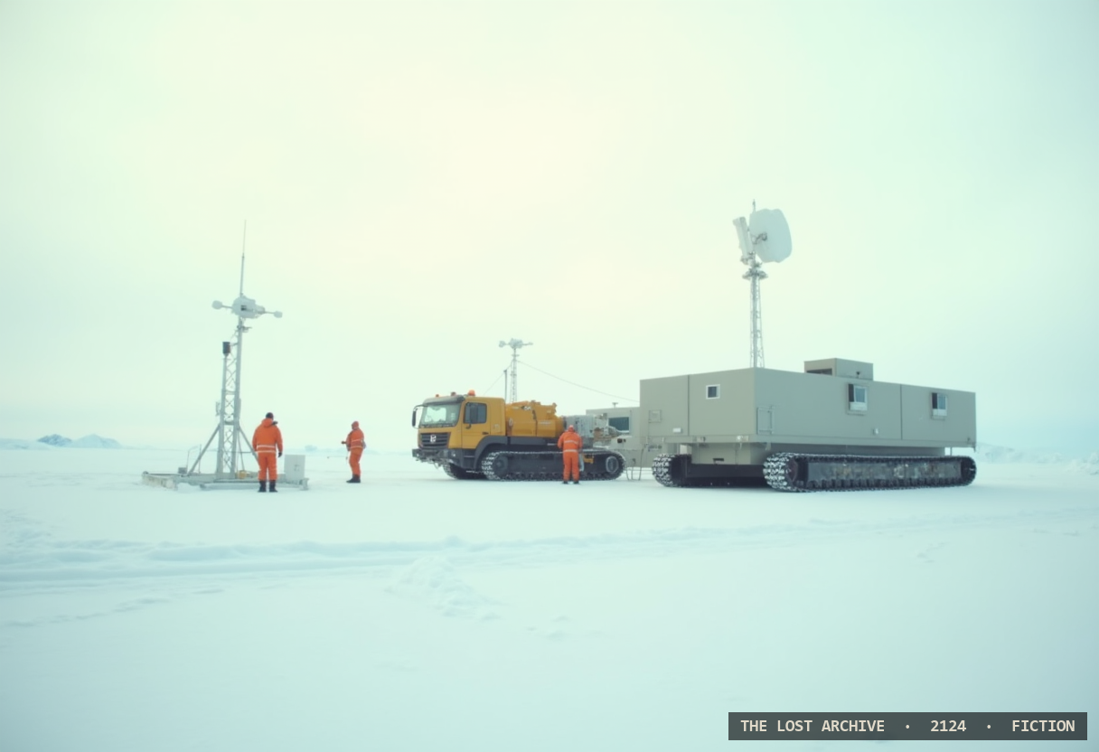
The corridor breaks ground and the maps break with it. As the first Sahel pumping stations came online this week, the hydrologists who drew the region's old aquifer charts quietly conceded that those charts no longer describe anything a household can drink from: the fossil water beneath the sand, mapped in optimism a generation ago, has fallen below the reach of the wells that once tapped it. What replaces it is a pipe from the sea — a spine of desalinated water pushed six hundred kilometers inland, powered off the reconnected grid, metered at every junction. For the towns along its length it is deliverance. It is also, the engineers admit without flinching, a new kind of dependency: a city that once drank from the ground beneath it will now drink from a machine on a distant coast, and from the power that runs it. "Thirst used to mean the sky failed you," said one Agadez well-master, watching a tap he did not build. "Now it means the pump does." The water is here. So is the leash.
By Halvard Nkemelu · The Lost Archive, World Edition
A dispatch from The Lost Archive, the in-world newspaper of the year 2124 — a work of speculative fiction from The Legacy of the Lost.